


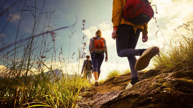
One of the best-known routes among those who live in the lower lake area - La Croce di Salò - is also a panoramic point where the view sweeps over the entire southern part of the lake, in particular the Gulf of Salò.
Our advice is to leave your car in Via Renzano where you will find dedicated parking spaces; if they are all occupied, you can park close to the road going uphill.
Once you have left via Renzano, you will reach Via Valsiniga, where a short but steep climb begins. After a little more than 500 metres, you can take the dirt road on your left and enter the countryside through the hills of Salò.
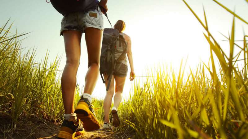
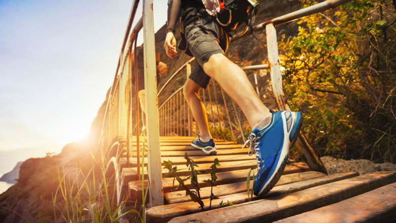
The route is quite steep and we, therefore, recommend footwear with soles suitable for the ground and, if you have them, trekking poles that can help you overcome the steepest sections.
A 400-meter difference in altitude awaits you in just under 2 km. The effort will be rewarded by the wonderful views and enviable panoramic photos that you can take from here!
Once at the top, follow the signs for San Bartolomeo and its small church, a place surrounded by greenery and tranquillity where you can catch your breath and enjoy the serenity of the place.
From here you proceed with gentle gradients until you reach Croce di Salò, the arrival point of this trek.
Once at the crossroads, you can descend by the 216B alternative route, which is slightly more difficult than the uphill route but not dangerous; you will then rejoin the starting point in Via Renzano.
Estimated hiking time: 1h30m
Distance: 5.4 km
Duration: 2:15 h
Ascent: 461 m
Descent: 522 m
Highest point: 504 m
Lowest point: 133 m
__JPG_800_450_cover_60.jpg)